The Formation and Evolution of Glacier National Park
Established in 1910, Glacier National Park has been captivating visitors for over a century. The park is situated along the border between the United States and Canada, with the larger Canadian portion known as Waterton Lakes National Park. Together, these two parks form the Waterton-Glacier International Peace Park, a symbol of peace and cooperation between the neighboring countries.
The story of Glacier National Park begins millions of years ago when the area was submerged beneath a vast inland sea. Over time, the uplifting of the earth’s crust combined with the relentless force of glaciers carved out the dramatic landscape we see today. This geological masterpiece, encompassing a wide variety of ecosystems and terrain, is a testament to the sheer power of natural forces at work.
Geography and Ecosystem of the Park

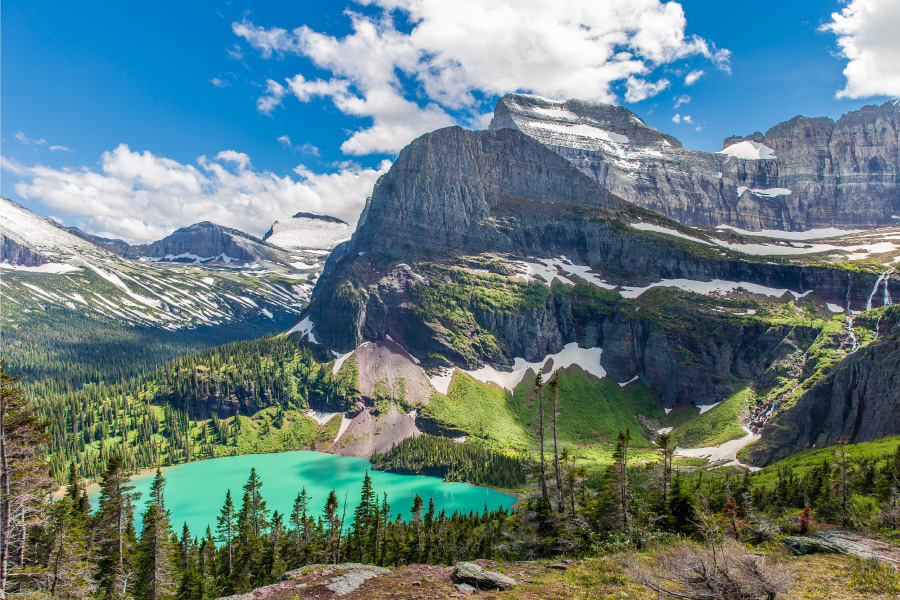
Glacier National Park is characterized by its rugged mountains, pristine forests, sparkling lakes, and diverse flora and fauna. The park is divided into two main regions: the east and the west. The eastern portion, with its vast grasslands and rolling hills, is reminiscent of the Great Plains, while the western region features dense forests and towering peaks.
The park’s diverse ecosystem can be attributed to its location within the Crown of the Continent Ecosystem, an area that spans over 10 million acres across Montana, Alberta, and British Columbia. This unique ecosystem is a haven for a wide variety of plant and animal species, making the park an ideal destination for wildlife enthusiasts.
| Statistic | Value |
|---|---|
| Park Size | 1,012,837 acres |
| Elevation Range | 3,150 – 10,466 feet |
| Main Habitats | Alpine, Subalpine, Montane |


